I just wanted to compare simple mapping software for excell/CSV data input.
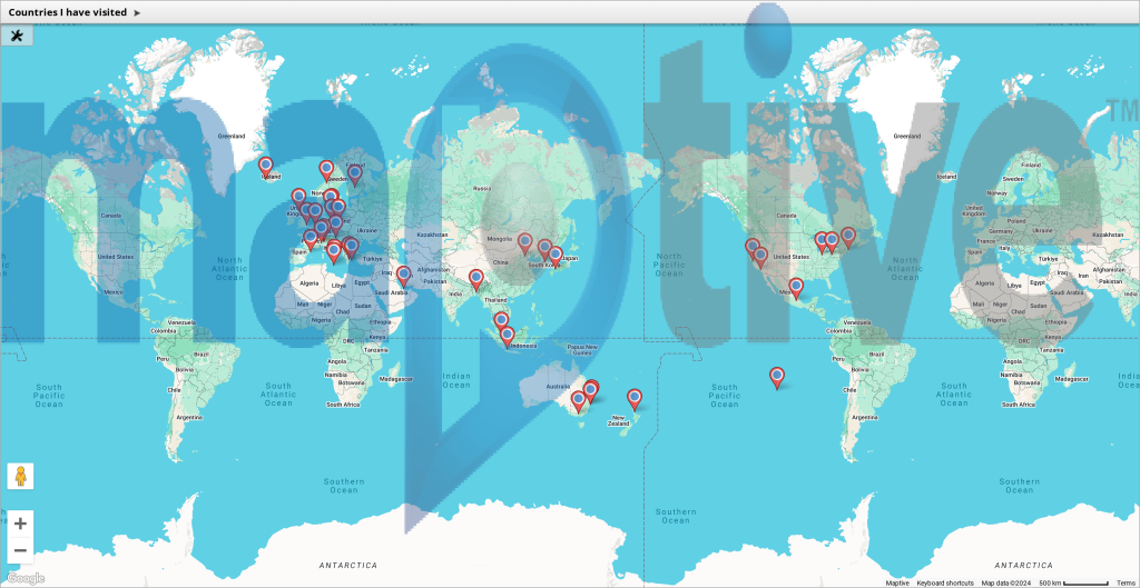
Here is trial version of https://www.maptive.com/map-excel-data/ (note huge watermark) of countries which invited me to speak there (physically or virtually). I may have missed a few but hey Canada, and South America, and Africa, what’s happening!?
There are a few that invited me (Iraq, Canada, France, Bulgaria) but it just didn’t work out. I didn’t count countries I have presented a conference paper in but there’s only a few more (Canada, Portugal, Thailand, Hong Kong-ok, not a country). But even such a simple exercise reveals I still travel quite a bit to Europe and the more famous European countries (perhaps a tad too much).
But more importantly, a free, well-featured, simple from .CSV to map app seems out of reach, currently. Maybe I have missed some.

Free QGIS requires a 1.6gb or so download but accepts CSV: https://docs.qgis.org/3.34/en/docs/user_manual/introduction/getting_started.html#downloading-sample-data. looks like it will take more than 5 minutes.
Apparently there are quite a few free but you have to pay to download packages. All seem to use the same underling format etc, I thought this would take 5 minutes but QGIS etc take more time (the default appears to want you to upload lat. and long. for each place/city).
