Tag Archives: Pelagios

Landscape Data, Art/Artefacts & Models as Linked Open Data Perth, Australia

For those interested in the above, please keep Friday 27 July 2018, open for an all-day free event in Perth.

We will be inviting speakers to talk on Australia-specific cultural issues and digital (geo) projects in relation to the above event.

More details to follow shortly and announced via http://commons.pelagios.org/:

So there is an Australian working group for Pelagios – Linked Open Data. We will run an event on 27 July at Curtin. News to follow.

http://commons.pelagios.org/2018/05/its-international-workers-day-announcing-our-2018-working-groups/

Australia LAMLOD Group: led by Erik Champion (UNESCO Chair of Cultural Visualisation and Heritage, Curtin University) and Susan Fayad (City of Ballarat), this WG seeks to address the problem of linking materials between academic research and cultural heritage in an Australian context. This is not so much about extending Pelagios linked data practice to an entirely new continent, though that is important; the problem this WG seeks to address is the multi-layered and contentious representation of cultural heritage, namely: the vast scale of Australian landscapes and historic journeys; the local and highly specific Aboriginal ways of describing, navigating and experiencing the landscapes with hundreds of different languages; and the specific problem of integrating UNESCO designated built and natural heritage with its surrounding ecosystems. The LAMLOD WG will create landscape data and visualisation displays, investigate related cultural artefact knowledge (Indigenous and colonial), and build towards the integration of linked open data and 3D models.

 

new project 2: 3D and GIS

The following was a successful grant, funded by the Curtin Institute of Computation.

Title: Leveraging Low-Cost and Free Linked Open Data and Hybrid GIS/3D For Cultural Heritage Visualisation (6 months)

The program/research plan:

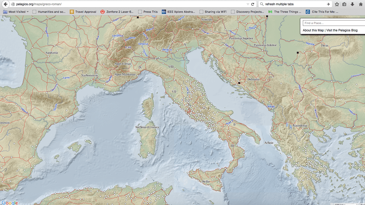
The two ECRs with the help of the two Curtin Professors will investigate the use of an application, possibly the Pelagios Framework (http://commons.pelagios.org/), an online portal that can combine maps, charts, documents, pictures and dynamic data, to create interactive visualisations and predictive cartographic analysis tools.

Figure 1: Pelagios

This pilot study will explore whether the application can accept, display and dynamically link to 3D models and their subcomponents, using GIS Data so that maps and 3D models can be displayed and interacted with online. This specific application theoretically accepts simple 3D stl models but three.js and web3D models have not been investigated. Existing related examples: see http://www.usc.edu/dept/LAS/arc/mayagis.html

The two ECRS will derive a 3D model with GIS related data and design an online Pelagios Commons framework (or similar) for viewing a 3D model of a heritage site, preferably in Australia, that controls place elements in a side-located text document or an online map or chart and vice versa.

http://pleiades.stoa.org/ shows some of the possibilities of Linked Open Data, but not how 3D can interact with a LOD GIS platform.

Proposed engagement of external and community groups

  1. Firstly, we will collaborate with the following non-CIC staff at Curtin to develop the Curtin University workshop.
  2. Secondly we will invite members to test the prototype and provide feedback and potentially collaboration and grant opportunities.
  3. We will test the prototype with archaeologists, heritage specialists or architects in another Australian city. The longer-term aim is to engage them in applying for a linkage to design a more permanent and larger collection and online portal for a more highly featured, user-friendly and robust design.

For an interesting potentially related interface please see http://www.impa.br/opencms/en/