Tag Archives: GIS

Virtual Heritage: A Guide

Virtual Heritage: A Guide” is published and open access!

Why did we write it? For all those interested in an introduction to virtual heritage, but facing steep purchase costs for academic books, so it is especially suitable for university undergraduate courses. Download what you need, for free.

And given it was written from go to whoa in less than a year and to a tight word limit, I am very grateful to the authors for their time…

Cite: Champion, E. M. (ed.) 2021. Virtual Heritage: A Guide. London: Ubiquity Press. DOI: https://lnkd.in/gNkNWiB. License: CC-BY-NC.

6 month Research Assistant position

I require a research assistant for an ARC LIEF project:

Fixed Term Research Assistant for Time Layered Culture Map Project (Web-based Mapping and AR/MR/VR technologies] 

  • Develop exemplars of cultural heritage data integrated with GIS data, on open source web platform Recogito [https://recogito.pelagios.org/] or equivalent.
  • Advise and develop related semantic web ontologies, features and supporting data.
  • Develop working examples of cultural heritage sites on this platform along with requested visualisation and annotation features (requested by supervisor)
  • Help integration with envisaged virtual reality, augmented reality and mixed reality platforms and related devices
  • Assist development of reports, tutorials, scholarly publications and grant applications based on the above including sourcing earlier papers and case studies
  • Store all examples and codes on accessible software repositories as requested by supervisor
  • Demonstrate, where required, the above GIS, mapping and semantic web examples.
  • Expertise required: knowledge of GIS, GeoJSON or similar, programming, familiarity with recent AR/VR technologies would be an advantage.
  • SALARY: G05.3  level.
  • The work is based at Curtin and can be shared but covers 6 months fulltime worl starting ASAP.

The job will be advertised soon but please contact erik dot champion at curtin edu au for any questions.

3D and GIS

Today Ikrom had his milestone presentation and (it was the first for me at Curtin so training wheels) but the reviewer questions were more,..ok can you do this for this project of mine..which actually is great..

A Survey of Geospatial Semantic Web for Cultural Heritage

Ikrom showed his project development to build a  web-based 3D landscape or building model viewer with GIS and Semantic Web/RDF compatibility using open source technology. It is basically the starting demo for the paper released, open source, at:

So, cultural heritage people, what would you want to do with 3D online models with LOD, Semantic Web technology, and the ability to question, select or annotate the 3D online model using say a drawing tablet pen or lassoo or…what questions would you want to be able to ask it or what parts or argument would you want to be able to show?

new project 2: 3D and GIS

The following was a successful grant, funded by the Curtin Institute of Computation.

Title: Leveraging Low-Cost and Free Linked Open Data and Hybrid GIS/3D For Cultural Heritage Visualisation (6 months)

The program/research plan:

The two ECRs with the help of the two Curtin Professors will investigate the use of an application, possibly the Pelagios Framework (http://commons.pelagios.org/), an online portal that can combine maps, charts, documents, pictures and dynamic data, to create interactive visualisations and predictive cartographic analysis tools.
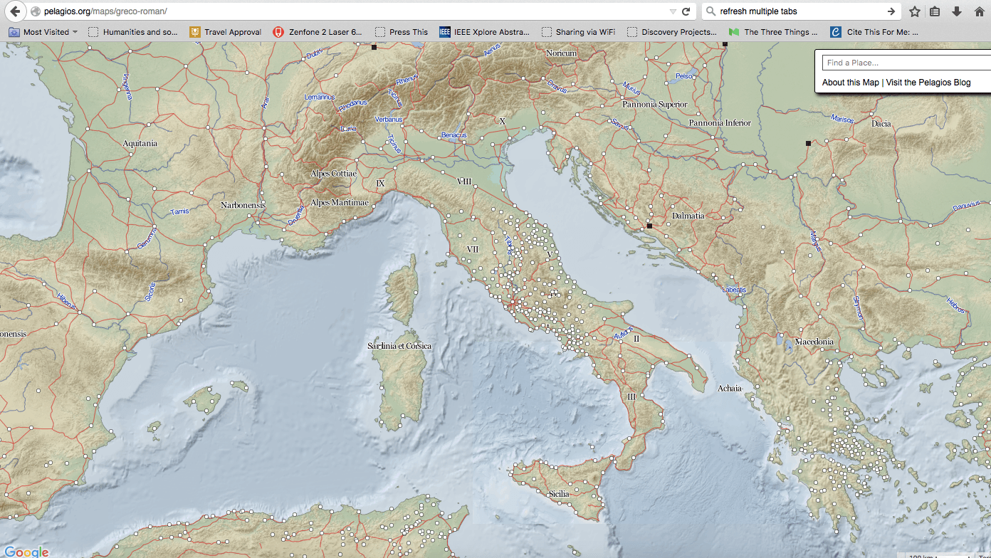
Figure 1: Pelagios

This pilot study will explore whether the application can accept, display and dynamically link to 3D models and their subcomponents, using GIS Data so that maps and 3D models can be displayed and interacted with online. This specific application theoretically accepts simple 3D stl models but three.js and web3D models have not been investigated. Existing related examples: see http://www.usc.edu/dept/LAS/arc/mayagis.html

The two ECRS will derive a 3D model with GIS related data and design an online Pelagios Commons framework (or similar) for viewing a 3D model of a heritage site, preferably in Australia, that controls place elements in a side-located text document or an online map or chart and vice versa.

http://pleiades.stoa.org/ shows some of the possibilities of Linked Open Data, but not how 3D can interact with a LOD GIS platform.

Proposed engagement of external and community groups

  1. Firstly, we will collaborate with the following non-CIC staff at Curtin to develop the Curtin University workshop.
  2. Secondly we will invite members to test the prototype and provide feedback and potentially collaboration and grant opportunities.
  3. We will test the prototype with archaeologists, heritage specialists or architects in another Australian city. The longer-term aim is to engage them in applying for a linkage to design a more permanent and larger collection and online portal for a more highly featured, user-friendly and robust design.

For an interesting potentially related interface please see http://www.impa.br/opencms/en/